
Dr Guy J-P Schumann – Flood Prediction Using Remote Sensing Technology
Floods devastate communities across the globe. A single flood disaster can cause the loss of thousands of lives, and the displacement of millions of people. The devastating effect is exacerbated by the difficulty in monitoring floods and evaluating the information to make the best responsive decisions. To help communities and emergency response teams better predict and prepare for flooding events, Dr Guy J-P Schumann and his team at Remote Sensing Solutions in collaboration with the Dartmouth Flood Observatory (DFO) have harnessed remote sensing technology to develop an advanced user-friendly universal flood monitoring and prediction system.
Monitoring Flooding Disasters
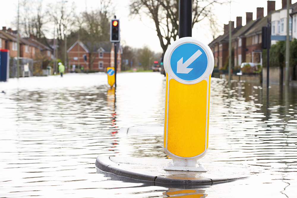
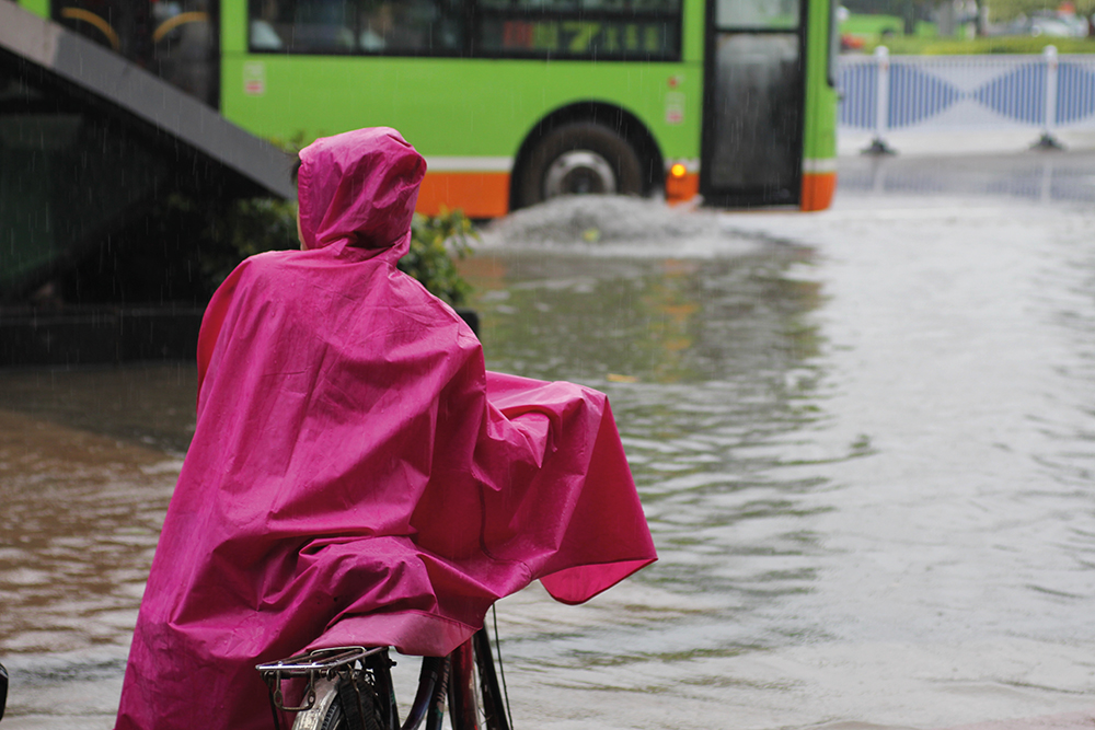
Floods are among the most devastating natural disasters on Earth. A single disastrous flood has the potential to displace millions of people from their homes and businesses, cause thousands of deaths, and result in billions of dollars in damages. Floods have affected more people in the 21st century than any other type of disaster. With climate change altering weather patterns and Earth’s water cycle, flooding is likely to increase in both frequency and intensity in vulnerable areas.
‘Hurricanes and tropical storms in recent years have been particularly devastating globally, with rainfall and inundation footprints far exceeding records and also national response capabilities,’ explains Dr Guy Schumann, Principal Scientist at Remote Sensing Solutions, Inc, in Massachusetts.
Accurate and timely prediction of flood disasters is imperative to give communities and governments time to prepare, and to inform the development of flood defence infrastructure. For predictions to be useful, they need to include probabilities of the likelihood, frequency and the extent of the area that will be affected by flooding events. However, the complex factors influencing flooding events and the scales across which they occur mean that accurate predictions are difficult to achieve.
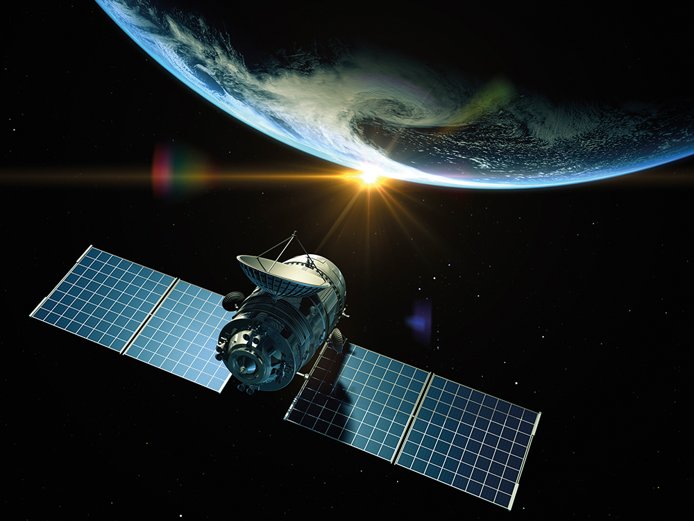
One of the key requirements for an effective prediction system for flooding is the historical and ongoing monitoring of flooding events. However, the spatial scales at which flooding occurs are often beyond the capacity of regional flood monitoring schemes, so remote sensing – using highly advanced sensors attached to satellites – is a promising solution to gathering the information necessary for future flood predictions.
Remote sensing technology has been in use to monitor flooding since the 1970s, and has improved dramatically in the last two decades. With the technology now readily available and in use, Dr Schumann and his colleagues at Remote Sensing Solutions and Dartmouth Flood Observatory (DFO), are integrating historical flood records and current flood monitoring, with the aim of creating an accurate and reliable flood prediction system.
In addition, Dr Schumann and his colleagues are creating a user-friendly interface that allows their flood monitoring system to be used by a wide range of organisations and individuals, including disaster response teams, humanitarian aid organisations, insurance companies, and individuals living and working in areas at risk of flooding.
New Remote Sensors and Flooding Data
Predicting which areas are at greatest risk of flooding, and when these disasters might occur, requires detailed records of previous floods – including the frequency and timing of the flooding, the depth of the flood waters and the scales across which these events occur, both spatially and temporally. ‘The position of the maximum flood shoreline is the main variable to determine the extent of flood hazard,’ says Dr Schumann.
Sensors capable of monitoring floods remotely have been included in the technology onboard satellites with increasing regularity over the past four decades. Such sensors allow monitoring across greater spatial and temporal scales than was previously possible through regional flood monitoring schemes.
Earlier sensor technologies – optical sensors – had a limited ability to monitor floods consistently throughout the period of flooding, because of their inability to ‘see’ through obstacles such as cloud cover or dense vegetation. As many floods happen during periods of extensive cloud cover, this meant that there were significant gaps in the data. Nevertheless, historic records obtained using this early remote sensing technology provides a valuable basis for long-range forecasts and allows changes in flooding frequency to be investigated across timescales of decades.
Newer sensors use radar technology that can detect energy similar to that emitted by household microwave ovens. These sensors are not limited by obstacles such as cloud cover, and are capable of producing very high-resolution maps of flooding events throughout the period of the flood.
‘During the last two decades, the amount of satellite missions carrying instruments that can be utilised to map flooding has increased considerably and there is now a general consensus among space agencies and scientists to strengthen the support that satellites can offer for flood monitoring,’ Dr Schumann explains.
With this remote sensing technology now established and in place, Dr Schumann and his team aim to consolidate previous flood records with powerful predictive models to produce a highly advanced flood prediction and decision support system (DSS) that can be used by any organisation or individual.
‘Disaster response managers and field operations analysts are often faced with either too much or too little information and with hardly any guidance on how to make decisions based on the data provided.’
Towards a Universal Flooding DSS
The next objective for Dr Schumann and his team is to integrate the remote sensing technology and flooding data into a fully-functioning flood prediction and decision support system (DSS) that can be used in multiple applications, such as coordinating emergency response efforts.
‘Disaster response managers and field operations analysts are often faced with either too much or too little information and with hardly any guidance on how to make decisions based on the data provided,’ says Dr Schumann. ‘There is to date no global decision support system for flood disasters that ingests all the data from existing systems and provides real-time critical information that can guide operational reactions on the ground.’
Dr Schumann and his colleagues aim to combine all the available data in an intelligent way in order to unlock the full potential of these technologies within a flood DSS. The information provided to end-users of the team’s flood prediction program – which will be extended from a web-based system to the development of an accessible mobile application – will include details on accuracy, spatial and temporal scales, and uncertainty. This is now already freely available as a first release for IOS and Android.
Uncertainty in predicting any natural event is an inescapable fact of even the most powerful predictive tools. However, providing levels of certainty along with predictions allows end-users to make informed decisions based on threshold levels of acceptable risk.
‘While there may indeed be several good and justifiable reasons for ignoring uncertainties, providing elements of product accuracy is a high priority for organisations and people utilising such products,’ says Dr Schumann. His team plans to systematically test and assess the uncertainty of the remote sensors and the flood DSS through extensive comparison to previous flood records.
Meeting the Needs of End-Users
In collaboration with DFO, the team at Remote Sensing Solutions is continuing to refine and build upon their flood DSS, both online and in an application compatible with mobile phones. ‘The main challenge lies in maintaining adequate targeted application readiness levels and high interoperability of products and services being delivered,’ says Dr Schumann. ‘Because capabilities evolve over time, any such interoperable system must be able to easily incorporate changes and improvements.’
Dr Schumann and his team have identified the key tools currently used by flood disaster response organisations to support their decision making, and the capabilities they would like to see available in a flood DSS. They aim to incorporate all of the requirements identified, ensuring users as diverse as the general public, emergency response teams, government departments and insurers are able to access and understand the information provided by the flood DSS.
Additionally, options to customise and interact with the information presented within the maps will give end-users the control and flexibility to filter the results based on their specific needs. For users requiring the capability to analyse flood data, the team’s DSS is also compatible with a range of other software. As this system monitors surface water conditions, the flood DSS could potentially provide the advanced monitoring technology to other areas of scientific research. It may be beneficial to monitoring water reservoir levels, wetland conditions, and has great potential for uses in agriculture and ecosystem monitoring.

The flood DSS app developed by Dr Schumann and his team may be an especially useful advancement for emergency responders that need to work against the clock in extremely dangerous conditions. By ensuring that the app is capable of functioning even when a mobile signal is patchy or unreliable, Dr Schumann hopes that his team’s technology will increase the efficiency of emergency response teams, by allowing them to adapt their efforts based on real-time changes in flooding disasters.
Dr Schumann and his team’s flood DSS and associated mobile app provides a powerful universal tool for monitoring, responding to, and predicting flooding disasters. With flooding events expected to increase in intensity and frequency in the future, this technology is a vital advancement, providing the right information to facilitate decision making, even when faced with the uncertainty of natural disasters.
Reference
https://doi.org/10.33548/SCIENTIA444
Meet the researcher
Dr Guy J-P Schumann
Remote Sensing Solutions Inc
Barnstable, MA
USA
Dr Guy Schumann earned both his master’s degree in remote sensing and his doctoral degree in geography from the University of Dundee, Scotland. He has since accrued more than a decade of experience in the field of remote sensing data integration with hydrodynamic modelling, and particularly radar remote sensing and its use in flood models. He is currently a Principal Scientist at Remote Sensing Solutions, Inc, where his recent research has focused on large-scale flood inundation modelling and integration with remotely sensed data. Dr Schumann is also the CEO and Principal Scientist at RSS-Hydro in Luxembourg – an accredited Private Research Centre for PhD students and postdoctoral researchers. Dr Schumann consults on a number of additional projects, including Interoperability Program activities of the Open Geospatial Consortium (OGC), and is a Visiting Research Fellow in the School of Geographical Sciences at the University of Bristol, UK, and a research affiliate in the Institute for Arctic and Alpine Research at the University of Colorado, Boulder.
CONTACT
W: http://remotesensingsolutions.com/
KEY COLLABORATORS
Dr Albert J Kettner and Dr G Robert Brakenridge at the Dartmouth Flood Observatory at the University of Colorado Boulder
Kashif Rashid, Consultant at Remote Sensing Solutions; former senior operations analyst at the United Nations World Food Programme
FUNDING
NASA SBIR
FURTHER READING
GJ-P Schumann, The need for scientific rigour and accountability in flood mapping to better support disaster response, Hydrological Processes, 2019, 33, 3138-3142.
GJ-P Schumann, G Brakenridge, AJ Kettner, R Kashif, E Niebuhr, Assisting flood Disaster Response with Earth Observation data and products: a critical assessment, Remote Sensing, 2018, 10, 1230.
![]()
Creative Commons Licence
(CC BY 4.0)
This work is licensed under a Creative Commons Attribution 4.0 International License. 
What does this mean?
Share: You can copy and redistribute the material in any medium or format
Adapt: You can change, and build upon the material for any purpose, even commercially.
Credit: You must give appropriate credit, provide a link to the license, and indicate if changes were made.
More articles you may like
Dr Rhett Martin | Governing Nature at the Edge of Collapse
For millions of men, ageing brings with it a set of frustrating and often disruptive urinary symptoms. These symptoms, caused by benign prostatic hyperplasia, or BPH, can affect sleep, confidence, and overall quality of life. Traditionally, treatment follows a familiar path. Patients begin with medications, often for years, and may eventually progress to surgery if symptoms worsen. Yet this pathway is not without its drawbacks. Medications can cause side effects, while surgery carries risks and recovery time. In recent years, a minimally invasive interventional radiology procedure called prostate artery embolisation, or PAE, has begun to challenge this traditional model. At the forefront of this shift is a collaborative research group, led by Dr. Nicholas Brown of the University of Queensland, whose series of P-EASY studies has explored whether PAE could transform how BPH is treated, particularly at earlier stages.

Assoc Prof. Nicholas Brown | Rethinking Prostate Care: A New Frontier in Treating Benign Prostatic Hyperplasia
For millions of men, ageing brings with it a set of frustrating and often disruptive urinary symptoms. These symptoms, caused by benign prostatic hyperplasia, or BPH, can affect sleep, confidence, and overall quality of life. Traditionally, treatment follows a familiar path. Patients begin with medications, often for years, and may eventually progress to surgery if symptoms worsen. Yet this pathway is not without its drawbacks. Medications can cause side effects, while surgery carries risks and recovery time. In recent years, a minimally invasive interventional radiology procedure called prostate artery embolisation, or PAE, has begun to challenge this traditional model. At the forefront of this shift is a collaborative research group, led by Dr. Nicholas Brown of the University of Queensland, whose series of P-EASY studies has explored whether PAE could transform how BPH is treated, particularly at earlier stages.

Jean Lycke | Addressing Unmet Medical Needs in Mucosal Disease: A Close-to-Market Innovation Approach
Recurrent Aphthous Stomatitis (RAS) is an oral condition characterized by one or several painful mucosal ulcers. RAS affects a large proportion of the population and has a point prevalence of approximately 2–3%, daily. The etiology remains unknown, and there is currently no curative treatment. Most patients experience recurring episodes over time, with each episode typically lasting up to a week. Here, we describe the development of a mucoadhesive patch which, when applied over a RAS ulcer, provides rapid pain relief. The patch is easy for patients to apply when symptoms begin and has the potential to be used as an over-the-counter product. The development of the Mucocort mucoadhesive patch is an example of a Close-to-Market innovation strategy that embraces simplicity within a complex healthcare system. By simplifying the product concept, the team has reduced the number of regulatory steps required before market approval. This MedTech/Pharma innovation model, known as the “4R” framework – Re-purposing, Re-formulation, Re-positioning, and Re-patenting – has guided the program from concept to commercialization. In addition to the biodegradable mucoadhesive patch developed for RAS ulcers, the team is extending the innovation concept to a mucoadhesive gel formulation for the prevention and treatment of chemotherapy-induced mucositis. This gel-based program is being commercialized separately through MucoShield.
The Translational Asian Agerelated Macular Degeneration Program Phase 2 (TAAP-2): Reimagining the Future of Vision Care
Age-related macular degeneration, often abbreviated as AMD, is one of the leading causes of vision loss among older adults worldwide. In Asia, where populations are ageing rapidly, its impact is particularly profound. For many, the disease quietly erodes central vision, making everyday activities such as reading, driving, and recognising faces increasingly difficult. Against this backdrop, the Translational Asian Age-related Macular Degeneration Programme, or TAAP for short, has emerged as a bold and ambitious effort to confront the disease headon. Now in its second phase, TAAP-2 represents a significant evolution in both scientific scope and clinical ambition.